The programme develops applications combining Earth observation, remote sensing, environmental data and artificial intelligence In this context, I would like to draw attention to the fact that the Commission's proposal for a regulation is based on the principle of subsidiarity.
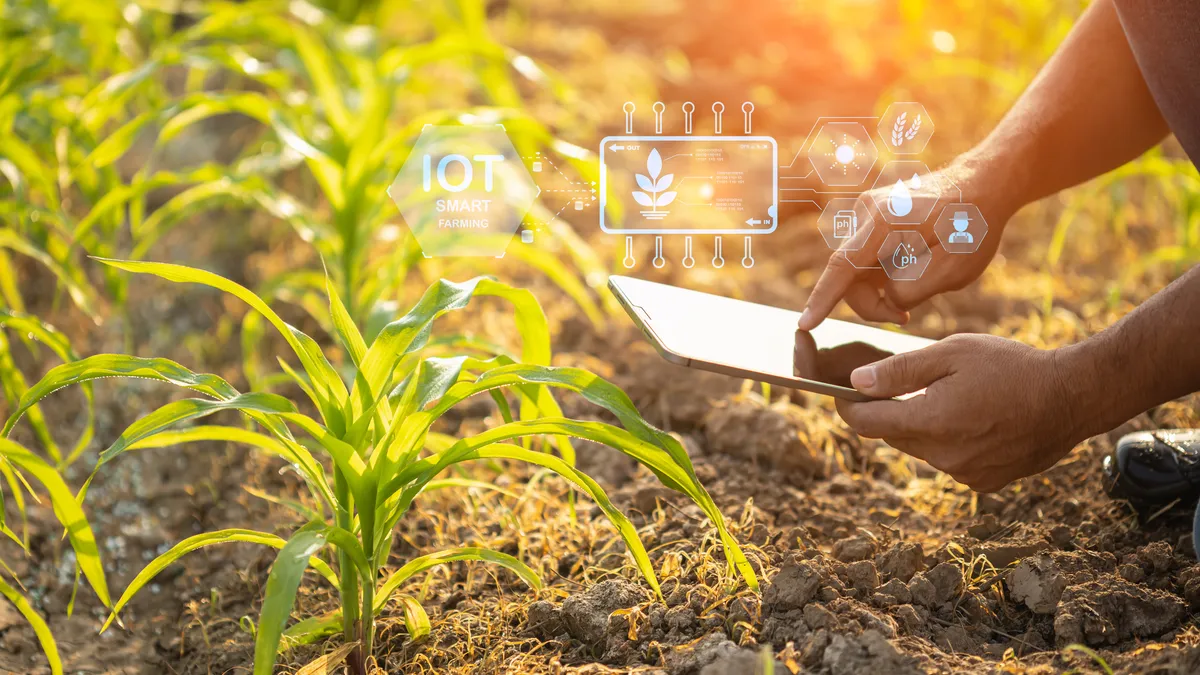
RECA is exploring the use of satellite data to map agricultural land, monitor crop status, analyze vegetation, monitor water resources, and identify changes affecting production areas.
Artificial intelligence is involved in the automated analysis of these data in order to detect anomalies, estimate certain agricultural parameters and contribute to the prediction of risks and production conditions.
The programme thus aims to develop toolsforagricultural intelligence adapted to crops, territories and local environmental conditions, in order to support farmers, researchers and agricultural planning actors.
In the long term, RECA hopes to contribute to a more sustainable agriculture. predictive, resilient and data-driven, by putting space technologies at the service of African food security.