
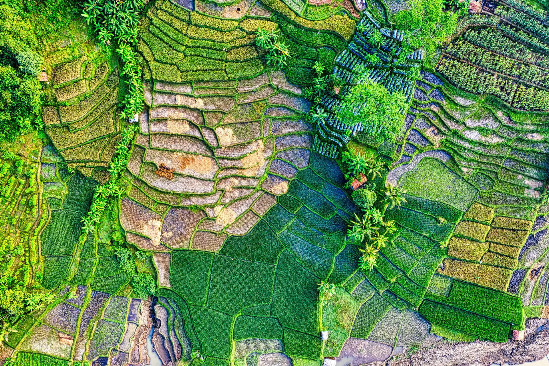
Map, understand and model Cameroonian territory
Sustainable Research and Exploration Center for Aerospace (RECA Space Agency) develops a research axis dedicated to Earth observation, geospatial engineering and the exploitation of satellite data for a better knowledge of Cameroonian territory.
Through remote sensing, geomatics, satellite image analysis and artificial intelligence, this axis aims to develop capacities to map, monitor and model the evolution of territories, ecosystems and natural resources.
The ambition is to transform data from space observation into scientific and operational information that can contribute to research, spatial planning, environmental protection and sustainable development.
Spatial knowledge of the territory
The Cameroonian territory presents a great diversity of reliefs, landscapes, ecosystems and climatic zones. Regular observation requires tools capable of covering large areas and detecting transformations that are sometimes difficult to identify from the ground.
RECA Space Agency is thus interested in the exploitation of Earth observation data to produce geospatial information on:
land use and occupation;
changes in vegetation and forest cover;
water resources and wetlands;
agricultural land and production dynamics;
urban expansion and transformations of the territory;
areas exposed to natural hazards;
the evolution of ecosystems;
Climate change effects.
infrastructure and human transformations.
Remote sensing and analysis of satellite data
One of the pillars of this mission is based on the sensing, making it possible to exploit data acquired by Earth observation satellites.
RECA is working on methods for processing, classifying and analysing satellite images in order to extract relevant information at different scales.
The ultimate goal is to build national capacities to move from the simple consultation of satellite data to their processing, their interpretation and their scientific valuation.
Geospatially based artificial intelligence
Artificial intelligence is a second major area of development.
RECA is exploring the use of machine learning and computer vision models to automate some complex operations related to geospatial analysis: classifying images, detecting changes, identifying structures, segmenting areas, and extracting information from large amounts of data.
Special attention is paid to: development of artificial intelligence solutions that can operate locally, in order to reduce dependence on foreign infrastructure and foster the emergence of African skills in the field of AI applied to space science.
Towards an intelligent map of Cameroon
In the long term, this initiative aims to contribute to the creation of a set of geospatial data and numerical models of the Cameroonian territory, regularly updated and usable for research and innovation.
In particular, this work may contribute to the creation of thematic maps, geospatial databases, models of territorial development and intelligent decision-support systems.
The aim is not just to produce maps, but to build the capacity to understand territory dynamics from spatial data.
Applications
The technologies developed under this axis can find applications in several strategic sectors:
AGRICULTURE : Crop monitoring, farmland analysis, vegetation monitoring and identification of environmental changes.
Setting : monitoring of forests, ecosystems, water resources and land degradation.
Planning of the territory : analysis of urban expansion, land use change and territorial planning.
Risk Management : mapping of areas exposed to floods, landslides, droughts and other natural phenomena.
Climate : observation of environmental transformations and analysis of indicators associated with climate change.
Scientific research : production and exploitation of data for work in earth sciences, environment, geography, climatology and space sciences.
Building African capacity in geospatial
Through this mission, RECA Space Agency wishes to participate in the development of a african expertise in Earth observation, geomatics and space artificial intelligence.
The mastery of these technologies is a strategic issue for African States: it makes it possible to better know the territories, to develop scientific tools adapted to local realities and to transform spatial data into useful resources for development.
RECA thus integrates its work into a broader vision: to emerge autonomous African capabilities in space technologies and their terrestrial applications.