
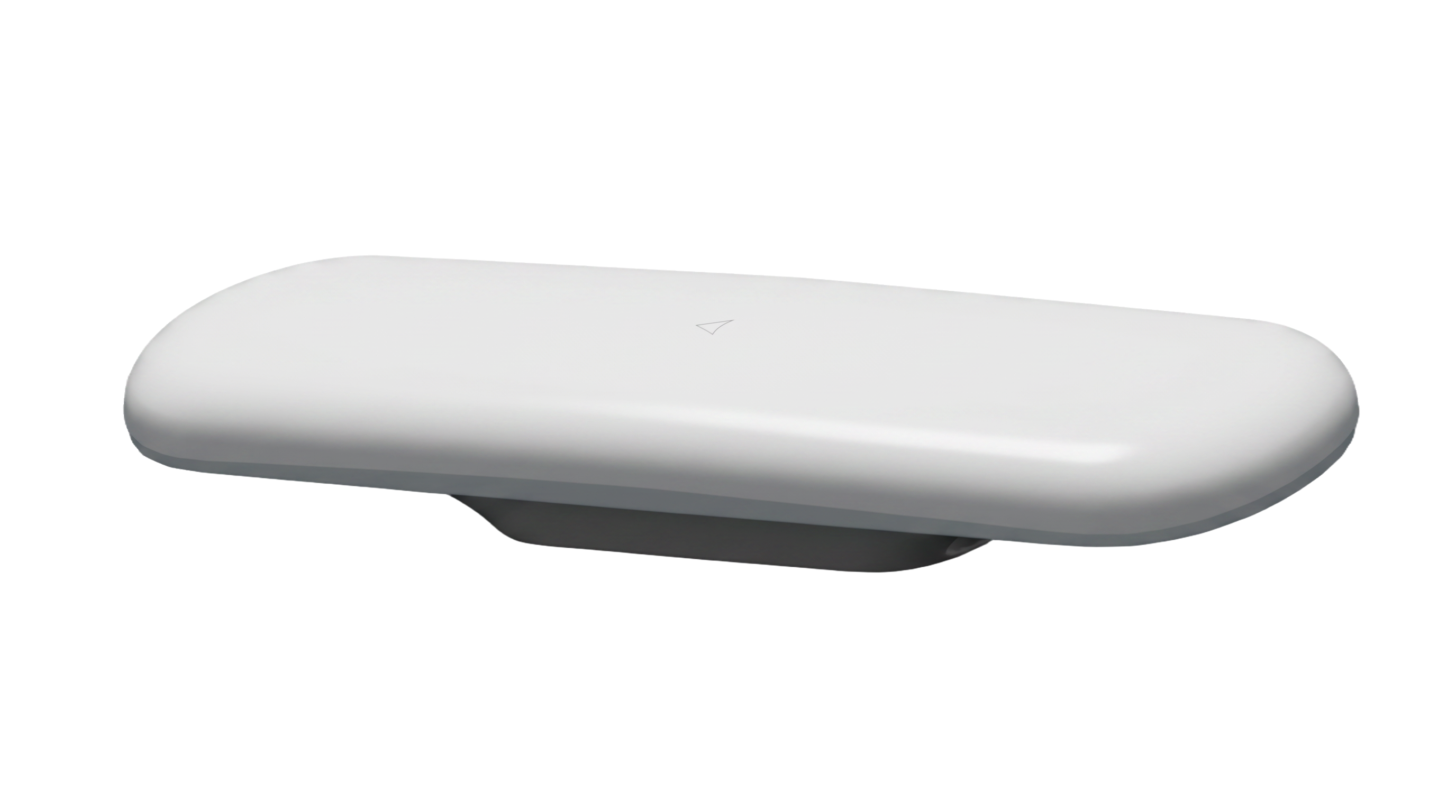
On November 2, 2026, the European Space Agency announced a contract with the Norwegian company Norse Navigation. The project aims to develop maritime positioning sensors capable of detecting and managing interference that disrupts satellite navigation signals. It is to last 17 months and go through certification tests and validations with customers. This is therefore not the announcement of a system already installed on all ships. The subject nevertheless deserves the attention of the ports and operators of the Gulf of Guinea: when a displayed position appears normal but comes from a misleading signal, safety depends on the ability to verify this position.
What GNSS brings to a ship
The GNSS acronym encompasses several satellite navigation constellations, including Galileo and GPS. A receiver estimates its position and time by measuring signals transmitted from orbit. On board a ship, this data feeds navigation displays and can be compared to information from radar, AIS, and electronic charts. Positioning alone does not determine the course to follow, but an error can propagate through multiple systems if all rely on the same data without independent verification.
Two types of disturbances are important. Jamming prevents or degrades reception by covering the signal with radio noise. Usurpation, often called spoofing, attempts to have false information accepted as if it came from the constellation. The second case is particularly dangerous if the calculated position appears credible at first glance. A useful alarm must not only say "signal lost"; it must also help the crew understand whether the received signal remains reliable.
What the contract still needs to show
The ESA-supported project aims for a technology maturity level of 8, associated with testing in a representative environment and advanced validation. The company must integrate multiple GNSS constellations, mechanisms for detecting jamming and spoofing, and controlled operation when signal quality decreases. Adapted alerts to the gateway are also planned. The sensor must be able to work with existing marine equipment, and not require the replacement of the entire onboard navigation architecture.
ESA also mentions OSNMA, a Galileo feature that authenticates the navigation message. This verification can help a receiver identify some false signals, but it does not eliminate all attacks. A transmitter can still jam the reception, and other errors can come from antennas, software, or incorrect interpretation of the data. Actual robustness must be evaluated through a variety of tests, including situations where the system is uncertain and must make that clear to the crew.
Why maritime certification is a real obstacle
A prototype that works in a laboratory is not yet a safety equipment on board a merchant vessel. The requirements applicable to ships covered by the SOLAS Convention impose testing, documentation, maintenance and reliable integration with other instruments. The Norse Navigation project must go through these stages. The 17-month timeframe announced by ESA corresponds to a development phase; it does not guarantee a commercialisation date or a quantified performance at sea.
Future results should answer specific questions: how fast does the sensor detect a disturbance? How many false alarms does it produce? How does it signal an uncertain position? What does it do when multiple constellations are affected at the same time? What information can still be obtained from the radar, other sensors, or crew observations? Without these measurements, the term "jamming-resistant" remains too vague for operational use.
A specific angle for the Gulf of Guinea
The ports, trade routes, and fishing operations in the Gulf of Guinea depend on reliable navigation. However, it would be excessive to conclude, based on this single European announcement, that a specific incident has occurred in the region or that local vessels are already using the Norwegian product. The relevant link is methodological: any authority or company that wants to assess its GNSS resilience should inventory its dependencies, alert procedures, and available onboard comparison tools.
A useful exercise would be to simulate an inconsistent position between the GNSS receiver, the radar and coastal observations, and then document the crew's decision. AIS data should also be read with caution: they convey a position declared by the ship and do not constitute an independent measure guaranteeing its actual trajectory. Operator training is as important as the electronic component. A sensor may indicate uncertainty; it is still necessary to know how to act without creating a new risk.
The place of African research and industry
The ESA NAVISP programme is currently funding a Norwegian company, but the skills involved go beyond the contract geography: radio signal processing, cybersecurity, sensor fusion, real-world testing, and the design of user-friendly interfaces on a gateway. African laboratories and engineering schools can study GNSS disturbance scenarios with authorized test data and simulations, and then verify how different receivers report loss of trust. Handling real signals requires an appropriate technical and regulatory framework to avoid disrupting other users.
The information of November 2 is therefore a development milestone to follow, not proof that maritime navigation is now protected. An update of this article should focus on the tests, the published results, and the certification. It is at this point that the promise can be compared to measured performance.
Multiple indices for a single position
A resilient system cannot decide that a position is correct simply because a single receiver displays accurate coordinates. It must compare the available signals, their temporal consistency, the ship's behavior, and, where possible, other onboard instruments. An impossible speed or a sudden jump in position may indicate an anomaly; a slow drift is more difficult to detect. The technical challenge is not just to detect a disturbance, but to assess the confidence that the crew can place in the displayed solution. An overly frequent alarm will be ignored; an overly late alarm will let the browser act on misleading data.
There are also several forms of interference. Jamming masks or degrades received signals. Usurpation attempts to have artificial signals accepted as coming from genuine satellites. The effects may look similar on a map, but they require different diagnostics. A sensor designed for the sea must operate despite reflections, ship movements, weather, and changes in the radio environment. A laboratory test is therefore a necessary step, not a guarantee for a busy port or a long voyage.
What needs to be published to judge the project
Convincing tests should specify the scenarios used, the reference sensors, the detection rates, false alarms, and the time required to return to a reliable position. It should also explain what the operator sees when confidence decreases: an uncertain position, a separate alert, or an emergency procedure. The results from a single location or a single type of disturbance would not be sufficient to describe all maritime routes. For navigation schools and ports in the Gulf of Guinea, these parameters are more useful than a general promise of resilience. They allow us to ask what specific risk a technology reduces and to what extent.